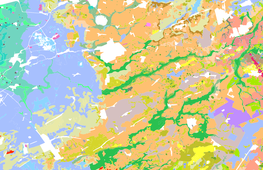
The Geomorphological map of the Netherlands provides information about the shape and origin of the landscape. Each geomorphological plane on the map shows a landform. The landforms are characterized by the relief, type of landscape form (form group), the origin (genesis) and possibly additional information about the nature and morphology of overlying sediment packages and/or local relief aspects. An extensive description of the legend of the Geomorphological map of the Netherlands can be found at https://legendageomorphologie.wur.nl. The Geomorphological Map of the Netherlands is part of the basic registration subsoil (BRO), the 'model geomorphology'. The associated source documents, development and validation documents can be requested from the BRO. The Geomorphological map of the Netherlands version 2019 consists of three layers: the geomorphological planes and two associated map layers ('dykes of geomorphological importance' and 'water of geomorphological importance'). These additional map layers are not classified as landforms, but have recognized importance to local geomorphology. The dykes of geomorphological importance come from earlier versions of the Geomorphological Map of the Netherlands (2004 & 2008). The water of geomorphological importance is a selection of the water surfaces from the Top10NL (April 2019).