Cadastral parcels (INSPIRE harmonised) WMS

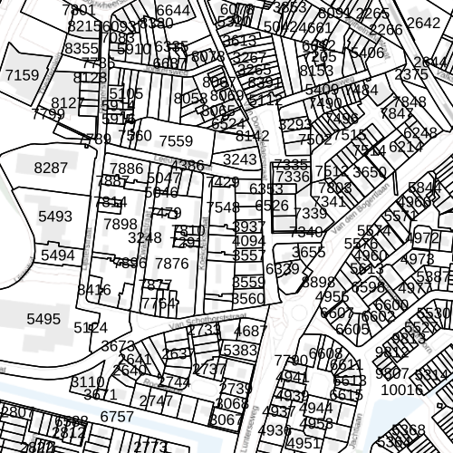
Overview of the location of the cadastral parcels in the Netherlands. Acts as a link between site and registration, often fulfills a reference function for external users, a background against which the user can record and present his own information.

Δεδομένα και Πόροι

Επιπρόσθετες πληροφορίες

Πεδίο Τιμή
Τελευταία ενημέρωση Μαρτίου 16, 2023, 15:03 (UTC)
Δημιουργήθηκε Μαρτίου 16, 2023, 15:03 (UTC)
Resource type Service
Resource identifier
Resource language
Topic category
Keywords Free
  • infoMapAccessService
  • cadastral parcels
  • cadastral parcels
MET - INSPIRE themes, version 1.0
  • None
Geographic bouding box 3.206252918228434 50.73360719554353 7.245258336784366 53.58297893748843
Reference date creation: 2020-08-16, revision: 2023-03-07
Spatial resolution
Specification
Licence No limits
Access constraints
Responsible party
beheerpdok@kadaster.nl
role: Author
Metadata contact
beheerpdok@kadaster.nl
role: Contact point
Graphic preview
Metadata ID None